
Map layers
Every layer in Hoch Hunt, with a picture of each, straight from the app with real data. Turn on as many as you want from Layers; most work offline once you save an area. Download as a PDF.
Hunting land
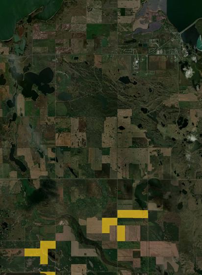 PLOTS walk-in areasEvery PLOTS walk-in tract from ND Game & Fish, on the map and saved for offline.
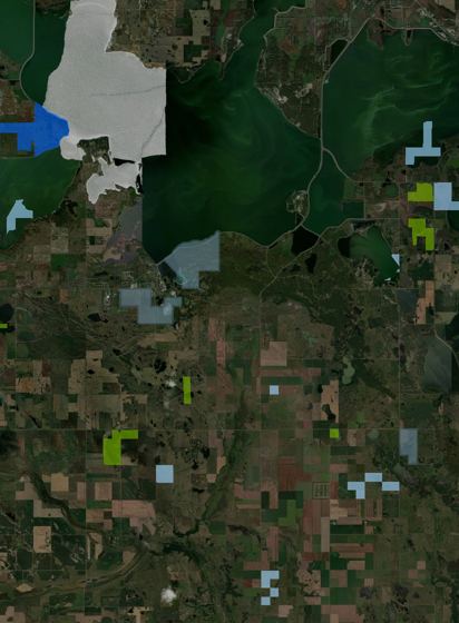 WMAs & other public landsWMAs, state and federal land, waterfowl production areas, grasslands and more, in calm colors.
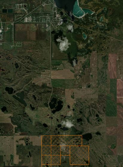 Electronically posted landsLand posted electronically by owners, so you know before you walk in.
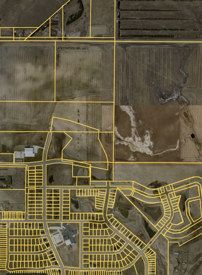 Parcels / landownersProperty lines statewide; tap a parcel for the owner to ask permission.
Hunting units
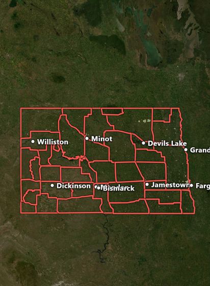 Deer unitsNDGF deer units, tap for the unit and its license info. Works offline.
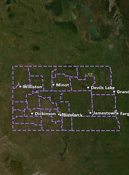 Turkey unitsSpring and fall turkey units.
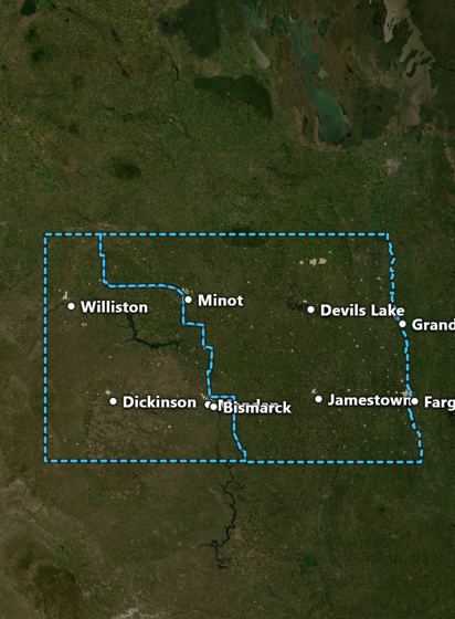 Waterfowl zonesWaterfowl hunting zones.
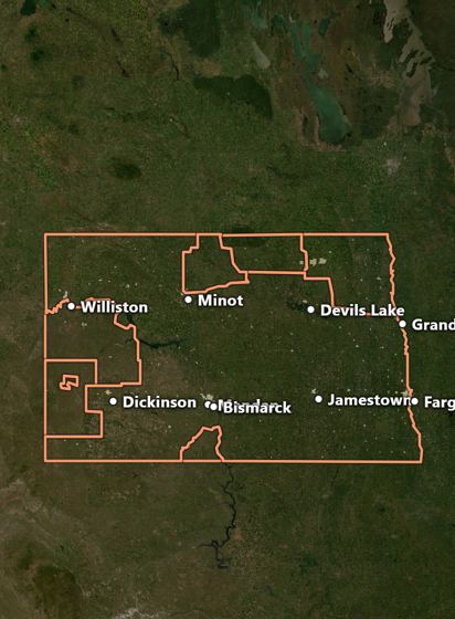 Elk, moose, pronghorn & sheepElk, moose, pronghorn and bighorn sheep units.
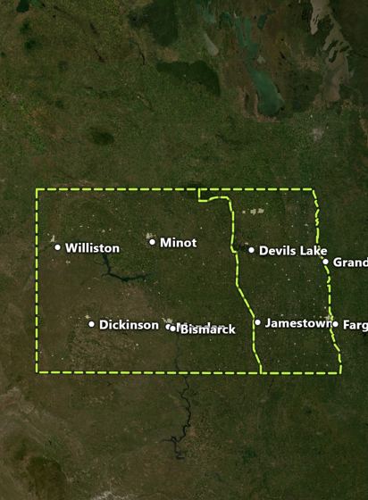 Sandhill crane unitsSandhill crane units.
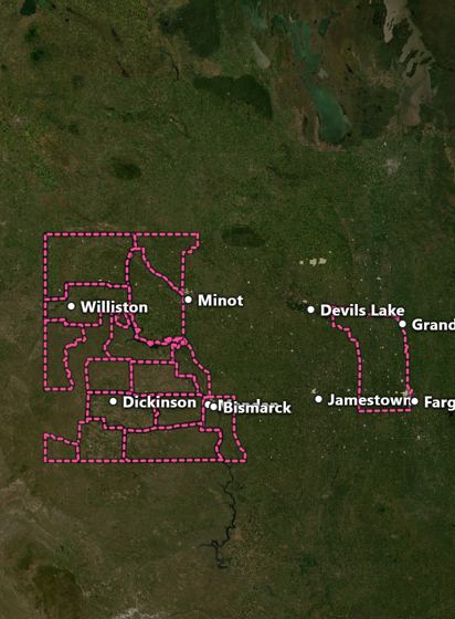 CWD areasChronic wasting disease areas and carcass rules.
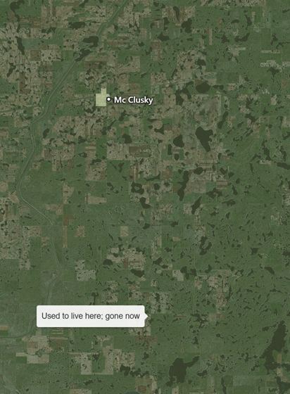 Native rangeWhere each game species belongs, where it's gone and what was brought in, from USGS range maps. Elk once lived across the whole state.
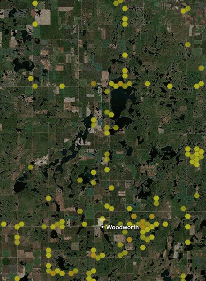 Seen in the last 10 yearsLive reports from eBird, iNaturalist and surveys for any species, so you see where they are now.
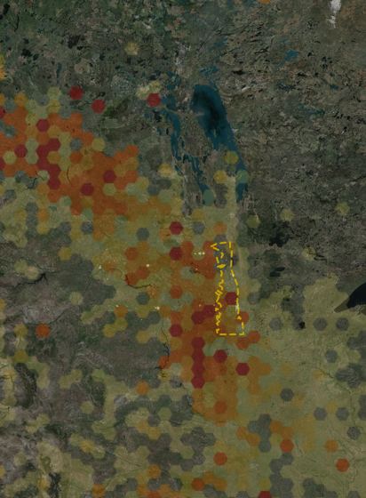 Migration & flywaysEvery migratory game bird, month by month: press play and watch snow geese, pintails or sandhills move up and down the flyway, with the peak months in North Dakota.
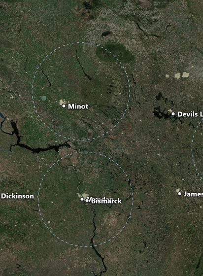 Bird lift-offsSnow geese and other big flocks leaving roost lakes and flying overhead, from weather radar scanned around the clock in migration season. Play it like the weather radar, and ask Hawk if they'll still be there Saturday.
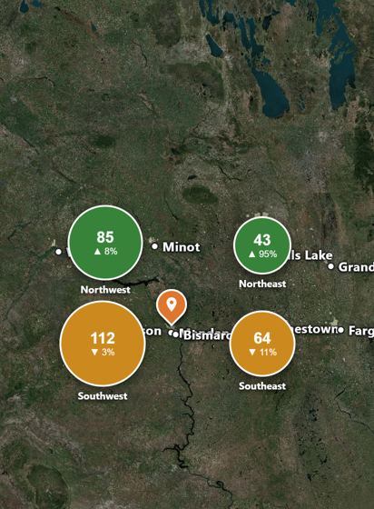 Bird & deer outlookThis fall's Game and Fish surveys: pheasants per 100 miles in each region with the change from last year, sharptails, Huns, the deer outlook and season dates.
River Watch & lidar
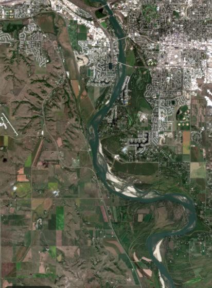 Newest satellite (River Watch)The newest cloud-free satellite pass, days old instead of years: see this week's water and fields.
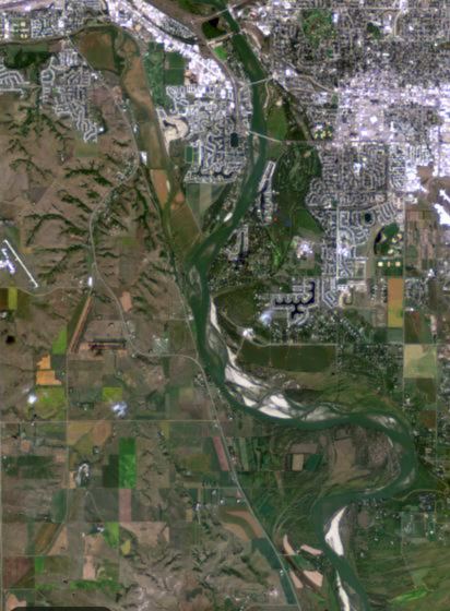 Shallow water & sandbarsSatellite view tuned to show sandbars, shoals and mudflats on the Missouri.
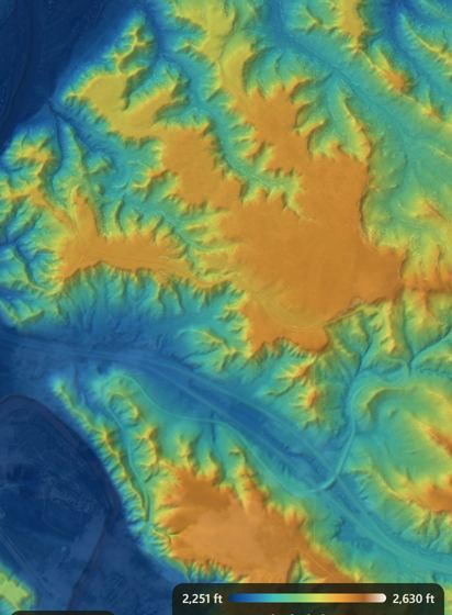 Lidar micro-reliefUSGS lidar colors every foot of rise and dip: draws, benches, old channels and potholes under the grass.
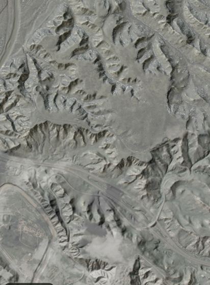 Lidar hillshadeBare-earth lidar hillshade: every coulee and ridge, trees and grass stripped away.
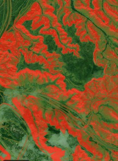 Slope (lidar)Flat to steep in color: plan easier walks and find benches.
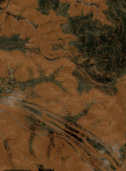 Contours1, 2, 5 or 10 ft contour lines from lidar.
Farm, ranch & drainage
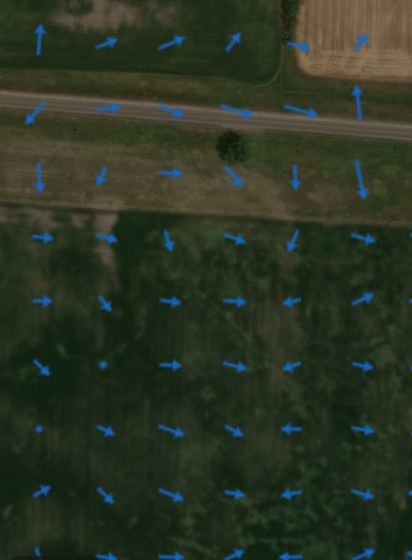 Water flow (drainage)Arrows show which way water runs, for drainage, tile and waterway planning.
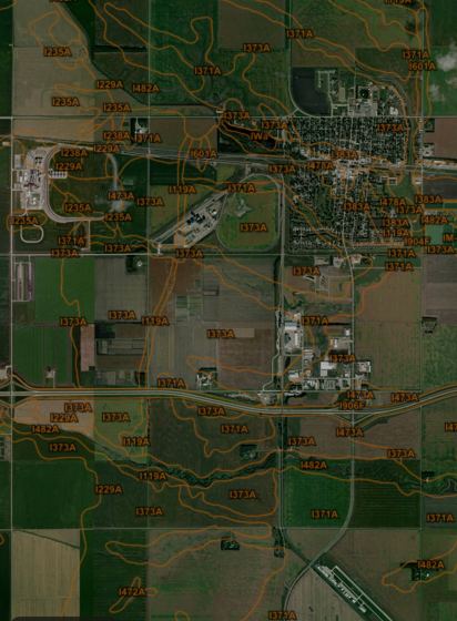 SoilsUSDA soil map units; tap for the soil type.
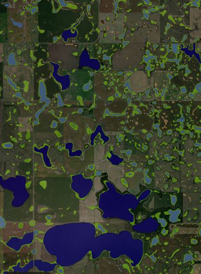 WetlandsNational Wetlands Inventory: every mapped wetland and slough.
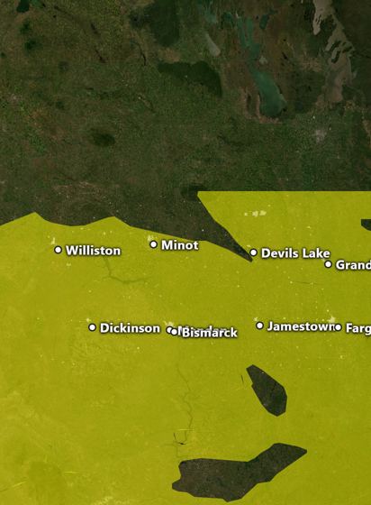 Drought monitorThis week's U.S. Drought Monitor.
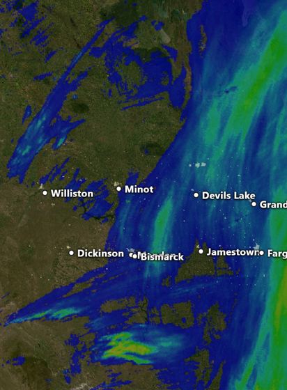 Rainfall (24 & 72 hours)Radar rainfall totals for the last 24 or 72 hours.
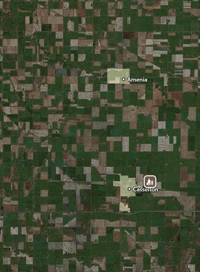 Grain elevators & today's pricesEvery licensed grain elevator, pinned on its bins, with USDA's cash prices for corn, beans and wheat in that part of the state, updated every market day.
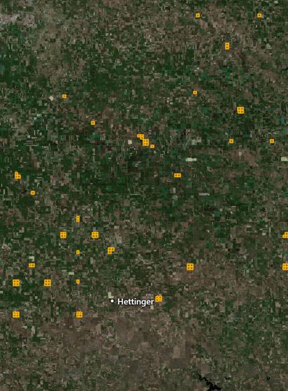 State land for leaseThe school trust land up for grazing and farm leases at this season's county auctions: acres, minimum rent and the auction date.
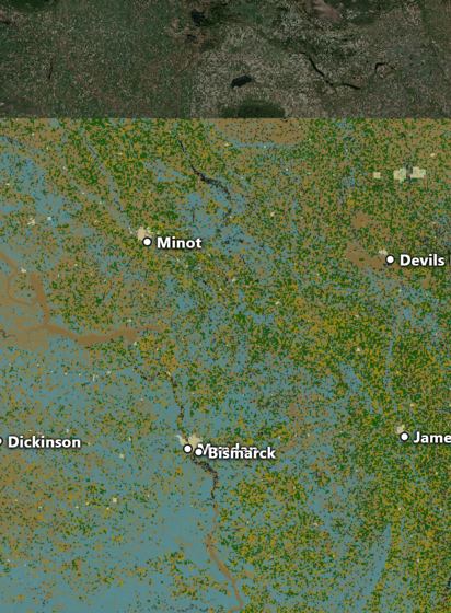 What's planted (experimental)Every field in the state by crop: pick crops to light up, each in its own color. Tap a field for its crop each of the last 9 years, a guess at this year's, and whether it's been harvested (satellite pictures and radar).
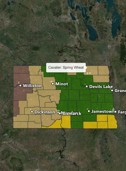 Crops by countyLast year's crops as percentages statewide, the top counties for each crop, and each county's biggest crop.
Politics
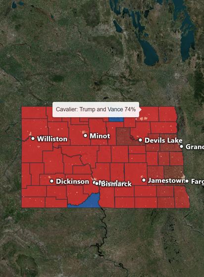 Elections by countyEvery statewide race and measure since 2000 by county, live on election night, plus the next election's nominees, ratings and polls.
Shooting sports
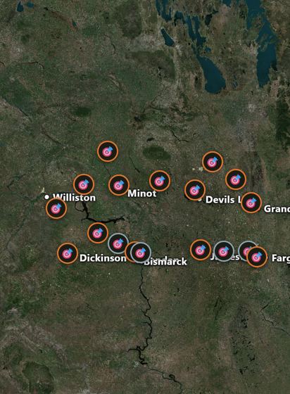 TrapshootingEvery ATA gun club and North Dakota trap shoot with programs and results, plus your own scorecard: enter each 25, then the official ATA score beside it.
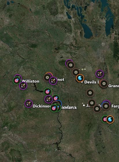 Ranges, clubs & leaguesGame and Fish public ranges, skeet and sporting clays, rifle and pistol clubs, archery clubs, and where the high school leagues shoot, with every league and association to join.
Movies & legends
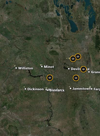 Conspiracy theoriesThe Nekoma pyramid, Cavalier's radar, "North Dakota doesn't exist" and more: what people say, and what's actually documented.
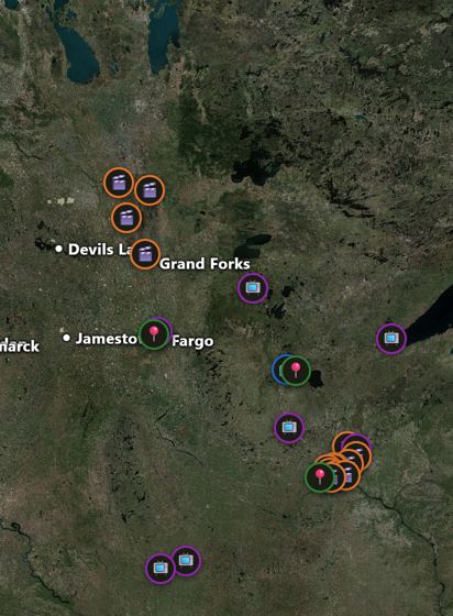 Fargo, the movie & seriesWhere the 1996 movie was really filmed, from Minneapolis to Bathgate, where the story happens, what's still standing (the woodchipper), and every season of the show.
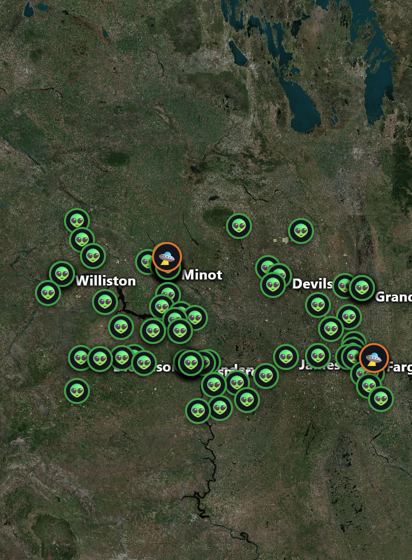 UFO sightingsEvery reported sighting in ND by date, shape and how long, plus the 1948 Fargo dogfight and the 1968 Minot case the Air Force investigated.
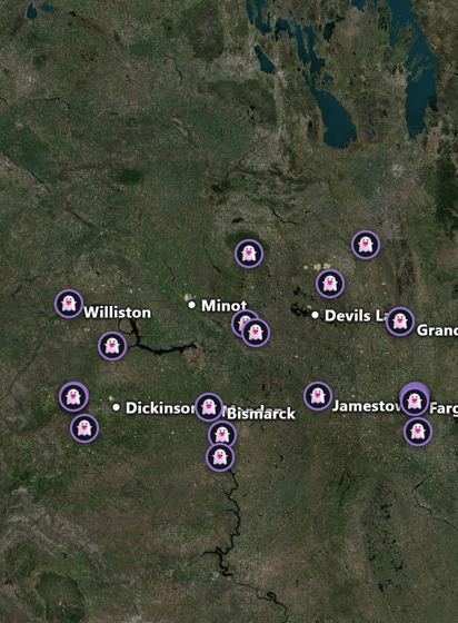 Haunted placesThe legends of North Dakota's haunted places, with each place's real history.
Parks & rinks
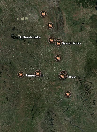 Dog parksEvery mapped dog park in the state: fenced, water and small-dog areas where known.
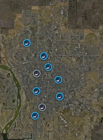 Ice rinks & pickup hockeyEvery rink in the state, with warming-house hours and prices in Bismarck and Grand Forks. Tap "Get a game going" and others see the time and how many are coming (no names).
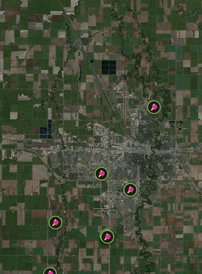 Pickleball courts & gamesCourts across the state with how many, indoor or out and lights. Add one that's missing, or tap "Get a game going": others see the time, the kind of play and how many are coming (no names).
Nature & learning
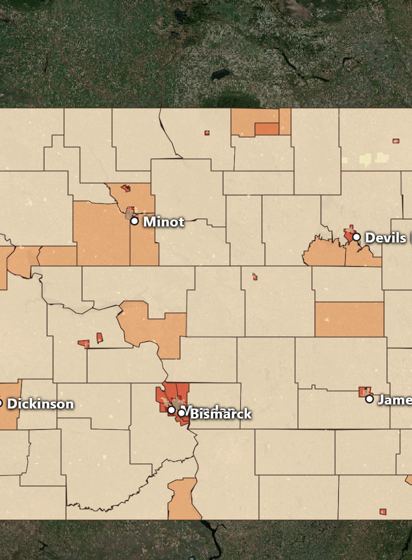 Population densityPeople per square mile for every neighborhood in the state, from empty prairie to city blocks. Tap one for its people, homes, median age, income, kids and seniors.
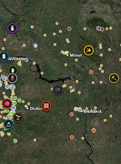 Natural resources & mineralsWhat's in the ground: lignite, oil, potash and salt, leonardite, rare earths, lithium, scoria and clay, with 322 mines and pits from USGS records.
Land
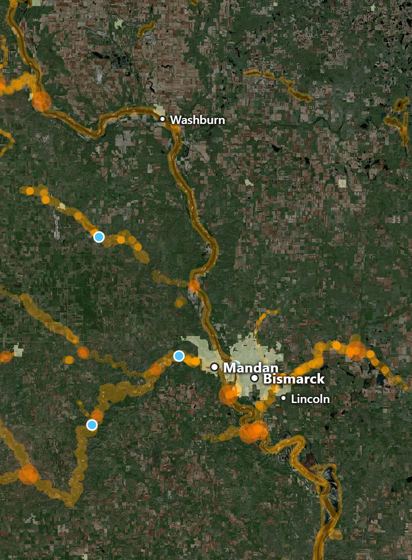 ArrowheadsWhere you'd most likely find one (by rivers, where creeks meet, old lake beaches, dry creeks right now from live stream gauges) and whether you could keep it on that land.
History
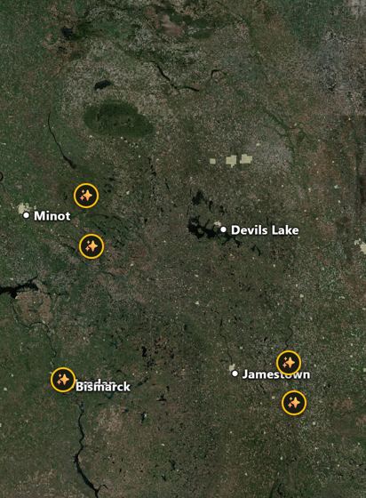 Gold rushes & panningNorth Dakota's little gold rushes (Fort Ransom 1884, Denbigh 1908 and the 1931 turkey-nugget rush) and where flour gold turns up.
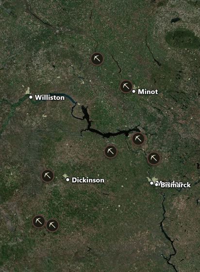 Mining historyLignite from 1873 wagon mines to today's giant draglines, and the uranium mines of the 1960s.
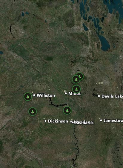 Logging historyTurtle Mountain timber, the woodhawks who fed the steamboats, Lewis and Clark's cottonwood canoes and the shelterbelts.
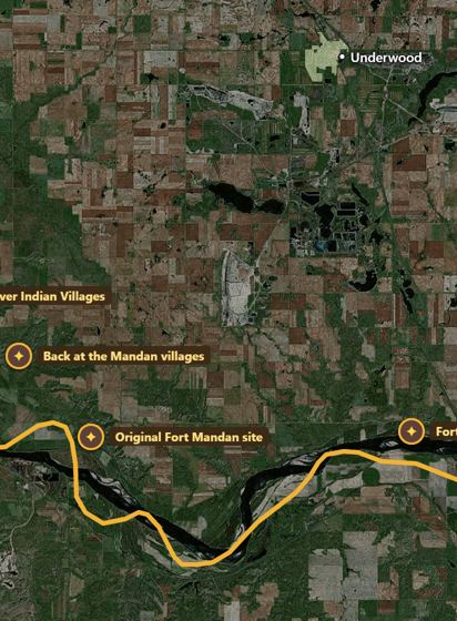 Lewis & Clark TrailThe Corps of Discovery's route out and back, every important stop with what happened there, and their long winter at Fort Mandan.
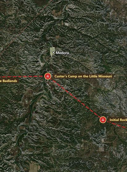 North Dakota historyCuster's 1876 march, the 1863-64 battlefields, frontier forts, Garrison Dam and the drowned towns, bonanza farms, rock art and famous North Dakotans.
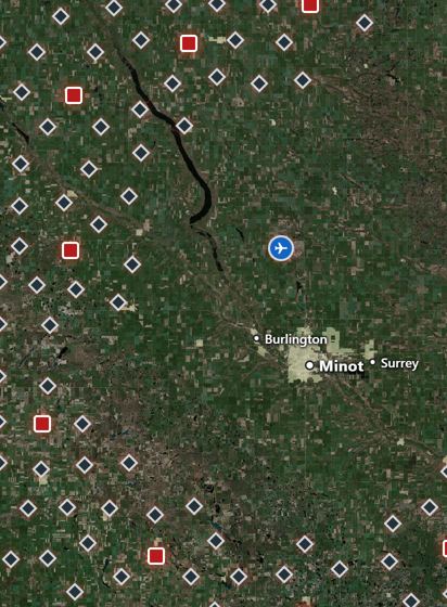 Missile sitesMinuteman III silos and launch control sites, retired Grand Forks sites, and Oscar-Zero you can tour.
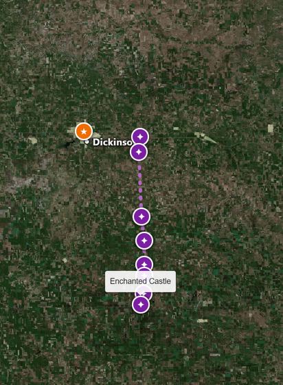 Roadside attractionsThe Enchanted Highway's giant scrap-metal sculptures, Salem Sue, the World's Largest Buffalo, Sandy the Sandhill Crane and more, each with its story.
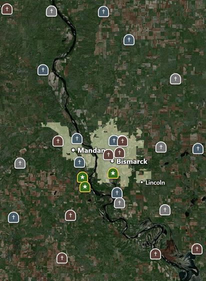 CemeteriesOver 2,000 cemeteries, each kind with its own pin: military and fort post cemeteries, church, town, rural and family, tribal, and old or moved ones. Outlines when you zoom in.
Space
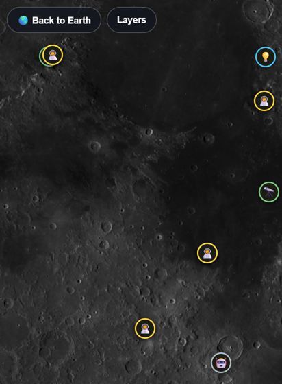 The MoonFly to the Moon and explore it like the ND map: NASA photos and laser elevation, every Apollo site up close with its flag and laser reflector, robot landers, the missions coming next, and the Moon's UFO and conspiracy stories.
Public safety
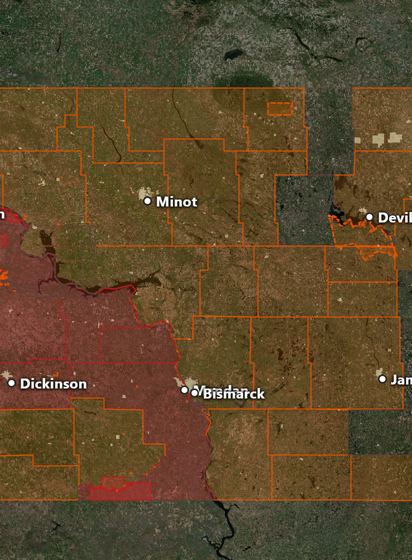 Fire bans & burn restrictionsEvery county, city and tribe's burn restrictions from the state's daily map: what's banned today, what gets added if fire danger rises, and who to call.
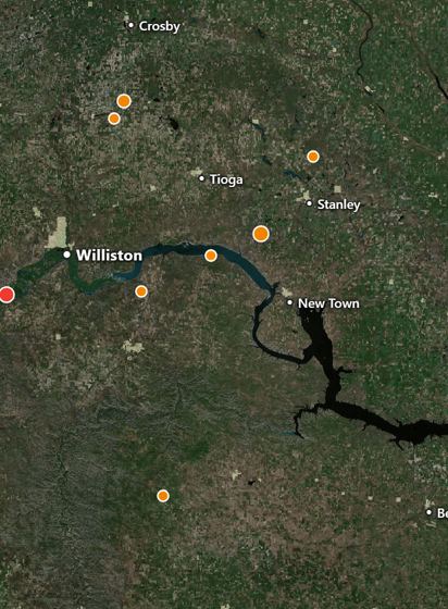 Fires seen from spaceNASA satellite hot spots from the last 24 hours or 7 days, newest in red, with oil-field gas flares sorted out.
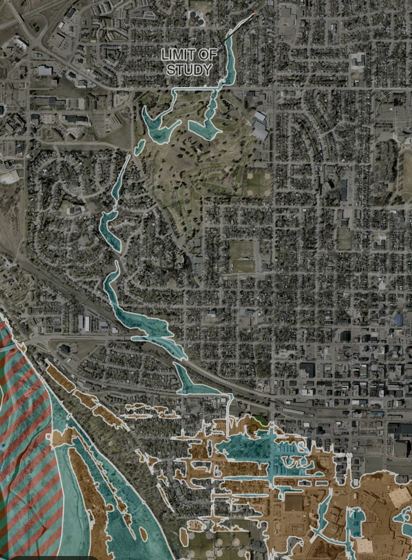 Flood zonesFEMA's official flood maps, drawn sharp: tap any spot for its zone in plain English (100-year, 500-year or minimal risk).
Health
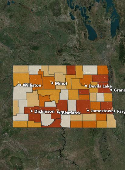 COVID-19 by countyCases, deaths and vaccination for every county from official sources, a month-by-month chart, the timeline of closures, mask orders and laws, and the vaccine risks the CDC and FDA confirmed. No spin either way.
Fishing
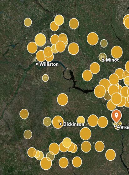 Fish stockingEvery fish ND Game and Fish has stocked since 2016, lake by lake. Tick walleye and perch (or any species) and the years, and tap a lake for its whole stocking history.
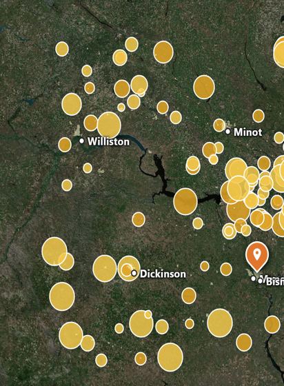 Netting surveysWhat Game and Fish's survey nets caught every summer since 2015: fish per net, average and biggest size, keepers and a size chart for every lake.
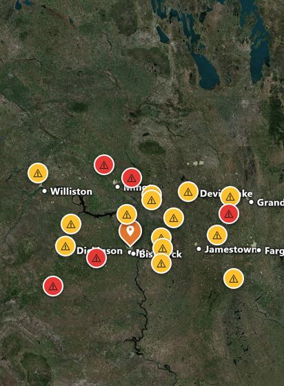 Blue-green algaeEvery lake under a DEQ harmful algal bloom advisory or warning, checked every 6 hours, with what it means for swimming, fish and dogs.
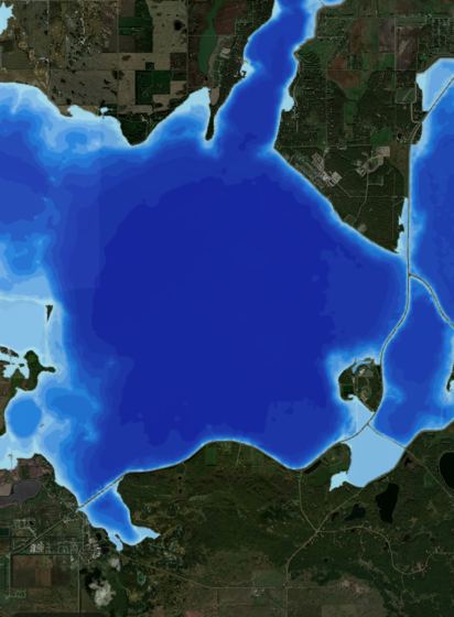 Lake depthsNDGF lake contour maps; tap a lake for depths and fish surveys.
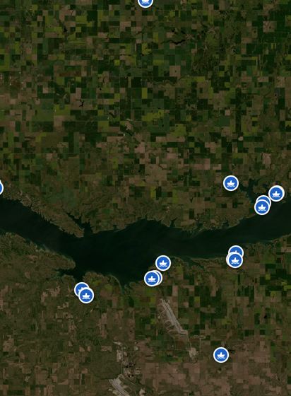 Boat rampsEvery boat ramp, saved for offline.
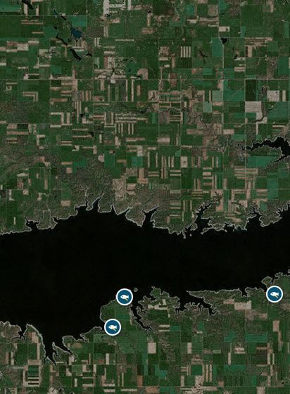 Fish cleaning stationsAll 73 public fish cleaning stations from ND Game & Fish, at the boat ramps and access sites.
Road report
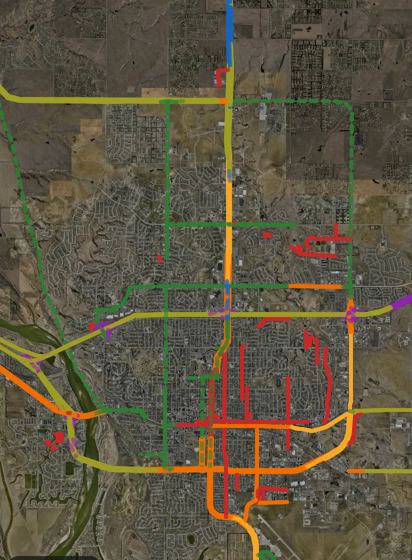 Speed limitsPosted limits on every state and federal highway from NDDOT, plus OpenStreetMap's posted roads. In directions, the speed sign sits beside your speed (works on a plane too), and arrival times use the limits and your own pace.
Trails
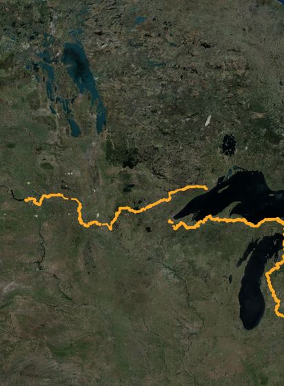 North Country TrailThe 4,600-mile trail from Lake Sakakawea to Vermont, with road walks, camping, parking, shelters and water.
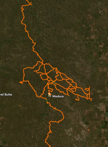 ND trailsHiking, biking, horse and OHV trails statewide.
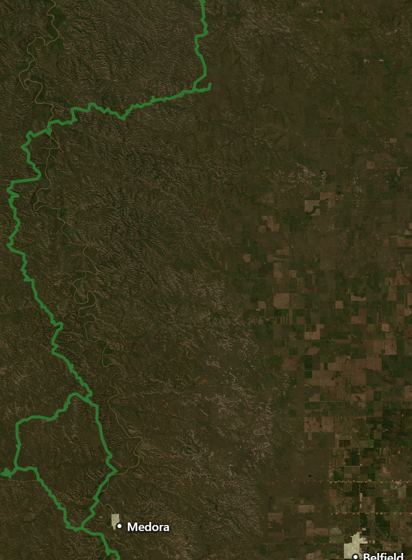 Maah Daah HeyThe Maah Daah Hey and national grassland trails.
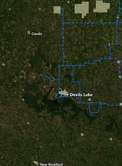 Snowmobile trailsSnowmobile trails for winter.
Weather
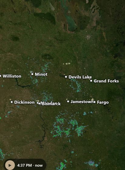 Live radarLive NEXRAD radar; tap anywhere for wind and the forecast.
Shows when active
Warnings & alertsNational Weather Service warnings: tornado, severe, winter, fire.Shows when active
CloudsGOES satellite clouds, day and night.Shows when active
LightningRecent lightning strikes, plus an optional alert when it's close.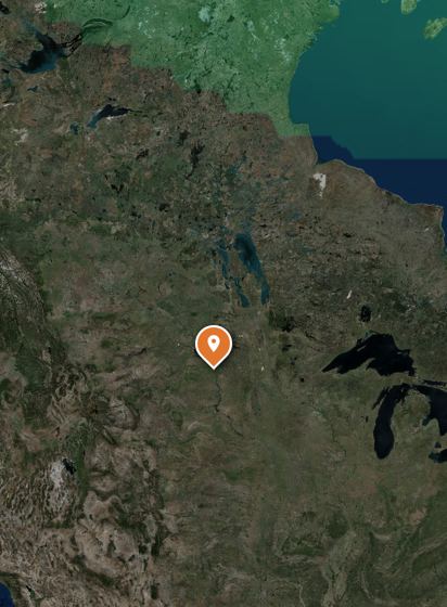 Northern lights tonightNOAA's aurora forecast as a soft glow on the map, and your chance of seeing it tonight.
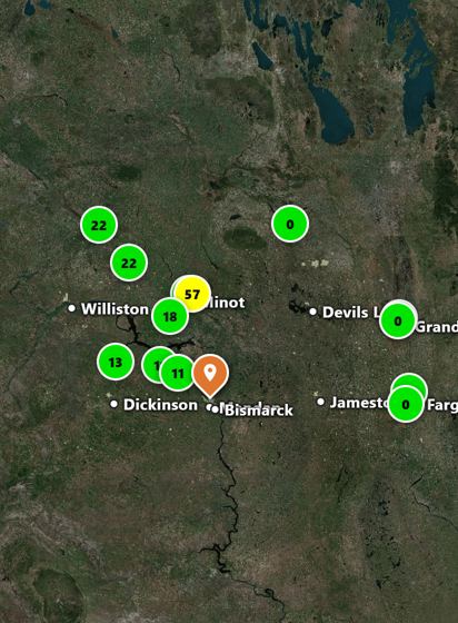 Smoke & air qualityThe National Weather Service smoke forecast hour by hour, and the air quality index at every monitor.
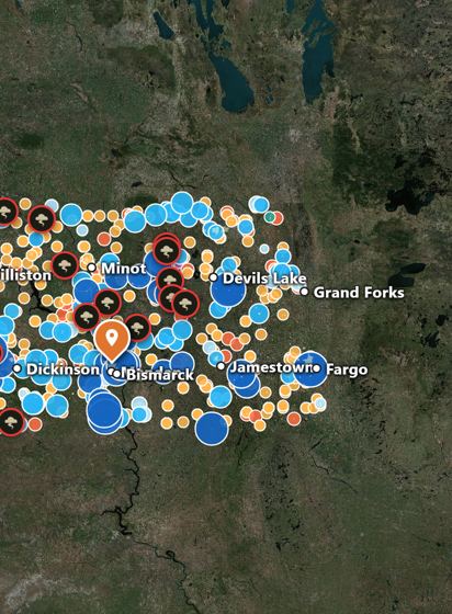 Hail & storm reportsEvery National Weather Service storm report: hail by stone size, wind, tornadoes and flash floods, for the last day up to the season.
Shows when active
Snow depth & spring meltDaily snow depth in fall and winter, and water in the snowpack for spring melt.Also on the map
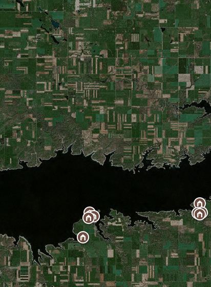 Outhouses & public restroomsNearly 500 outhouses and public restrooms at boat ramps, parks and trailheads, with wheelchair access noted.
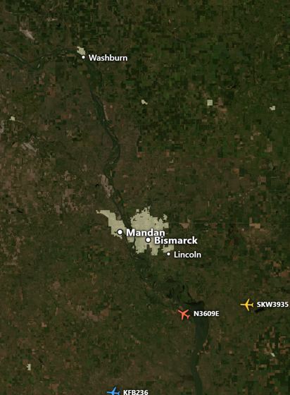 Aircraft overheadLive planes overhead: tail number, route, altitude and ETA.
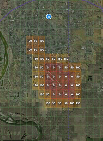 Drone airspaceWhere drones can fly and how high: FAA ceilings near airports, no-fly areas, live flight restrictions and recreational flying sites, plus North Dakota's hunting rule.
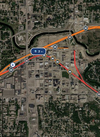 Trains & railroadsLive Amtrak trains and stations, every rail line in the state by railroad at any zoom, and every crossing with trains a day, speed and the emergency number. Directions count in the wait at busy crossings.
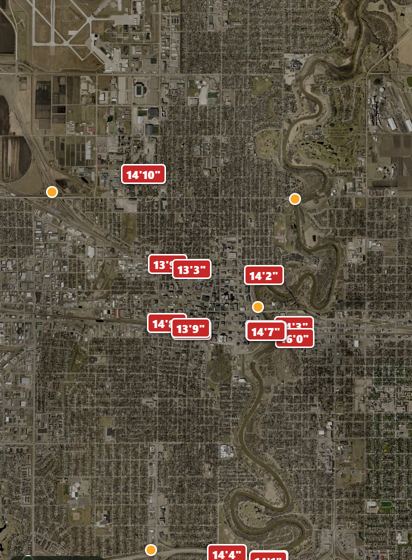 Bridges, clearances & weight limitsEvery bridge's clearance, width, weight posting and condition, posted height limits, NDDOT restrictions, spring load limits and scales. For tall, wide and heavy loads.
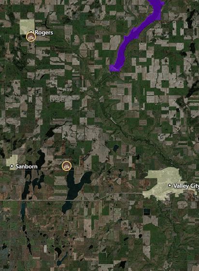 Metal detectingWhere you can detect and what you can keep: allowed land shaded, tap anywhere for the rule there, vanished towns to research, and the landowner-permission route.
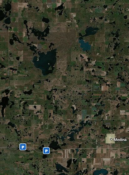 Rest areasAll 21 highway rest areas with restrooms, water, Wi-Fi, RV dump and truck parking. Free in every version.
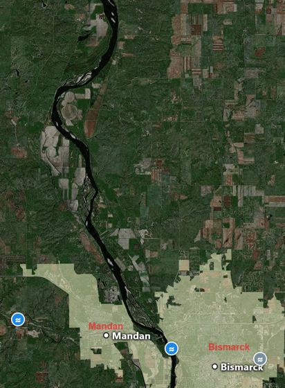 River levelsEvery USGS river gauge live: flow, height, flood stage, water temperature and current, plus Garrison Dam and the big lakes.
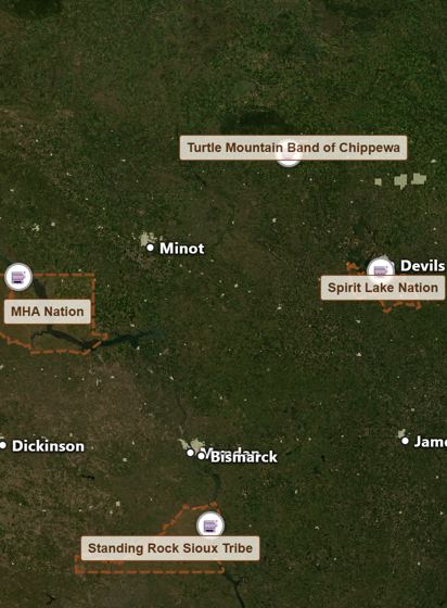 ReservationsAll five reservations with tribal license rules, casinos and tribal radio.
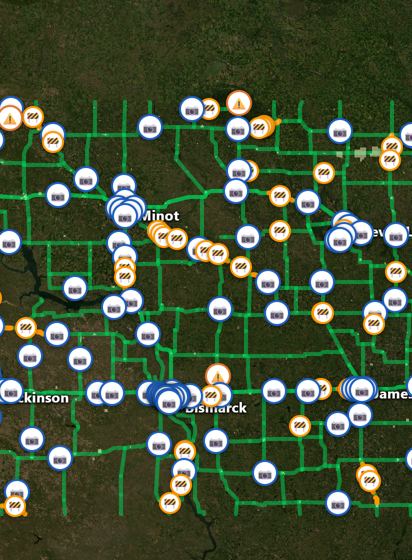 ND road conditionsNDDOT road conditions, closures, work zones and live road cameras.
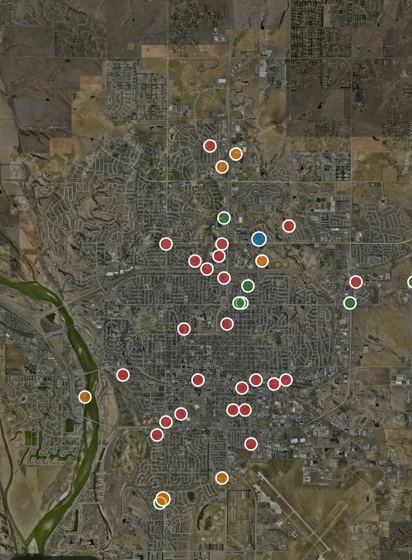 Police callsRecent public police calls (crime, crashes, fires) at the block level.
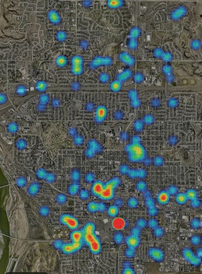 Crime heatmapWhere police get called most, from 60 days of public call logs.
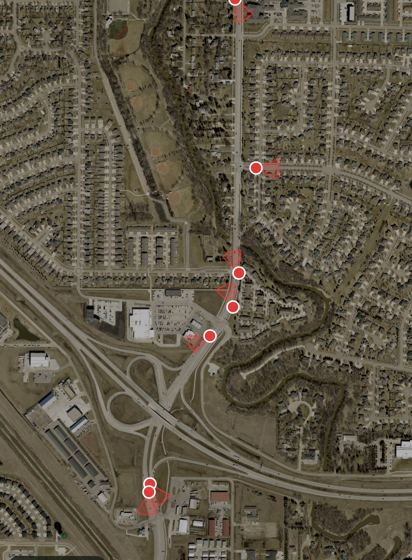 Flock plate readersFlock license plate cameras, with a cone showing which way each one points. Genetec and other plate readers, traffic cameras and security cameras are their own layers.
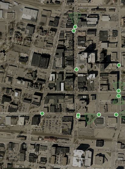 Traffic camerasCameras on traffic signals and roads that aren't plate readers: mostly signal detection cameras that sense waiting cars so the light changes.
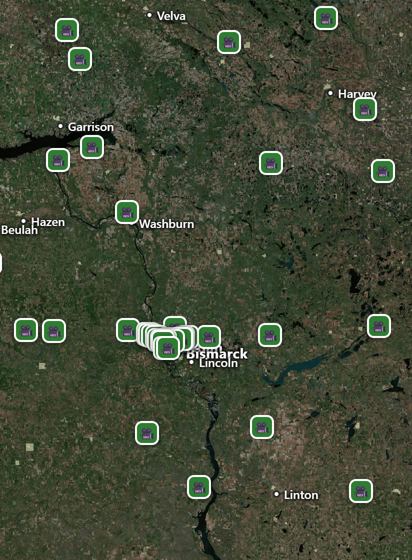 Live webcamsLive NDDOT road cameras and public webcams; tap for the current picture.
Landmarks & energy
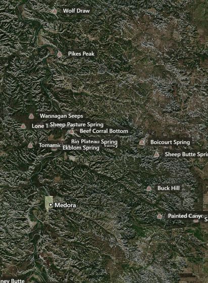 LandmarksNamed buttes, hills, ridges, coulees and springs with their elevation; tap one and Hawk tells its story.
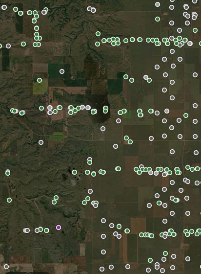 Oil & gasEvery oil and gas well with operator, field, status and spud date, plus the rigs drilling right now.
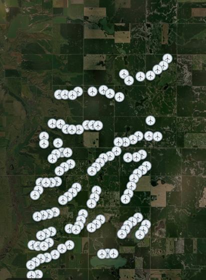 Wind turbinesEvery wind turbine: wind farm, year, make and model, hub and tip height.
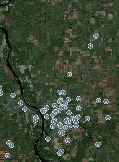 TowersRadio, TV and cell towers with owner and height (keep drones and kites clear).
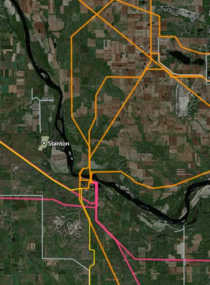 Power linesTransmission lines by voltage and utility.
Food, gas & more
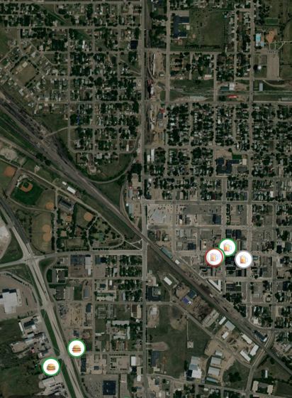 Bars, restaurants & cafesSmall-town cafes, bars and restaurants with open/closed now. Works offline.
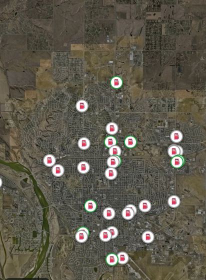 Gas stationsGas stations, diesel noted.
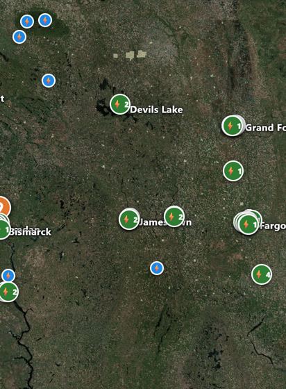 EV chargersEvery public charging station: fast and Level 2, plug types, network, hours and price. Works offline.
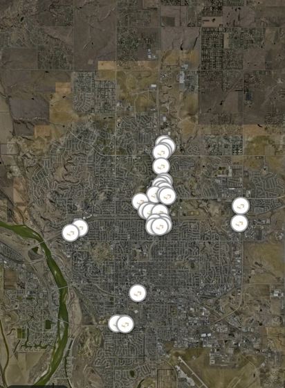 Hotels & motelsHotels and motels with phone numbers, even with no signal.
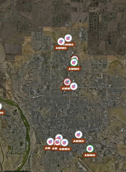 Sporting goods & ammoEvery gun shop and store that sells ammo (members mark small-town gas stations too), plus bait and tackle.
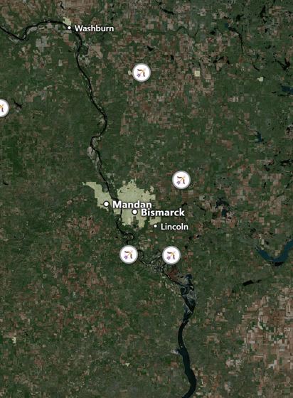 Shooting & archery rangesFree public ranges on Game & Fish WMAs (yardages, hours) plus archery and shooting clubs.
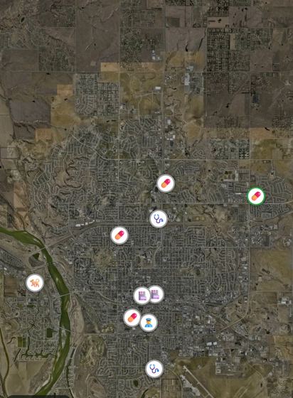 Emergency & helpNearest ER, sheriff, fire station, vet and pharmacy.
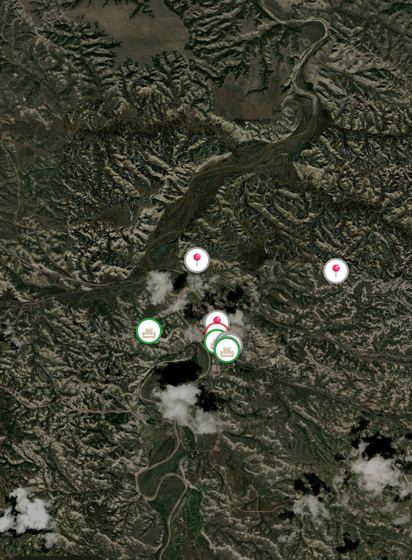 Sights, museums & casinosMuseums, historic sites, viewpoints and casinos.
Sun, stars & shadows
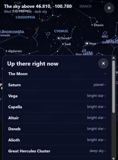 Night skyDive into any spot and look up: every constellation, named star, planet, the Moon and the Space Station, each with its story, distance and a fun fact.
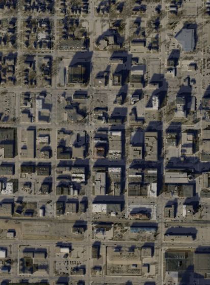 Shadows & sun hoursWhere shadows fall from hills, buildings and trees on any date and time, and hours of sun on a spot (like your driveway in December).
Camping, rentals & golf
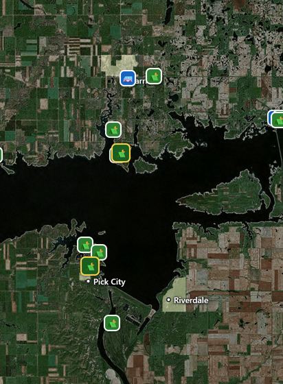 Campgrounds & cabinsEvery campground, RV park and cabin; state parks show each site's hookups and nightly price, plus cabins and yurts.
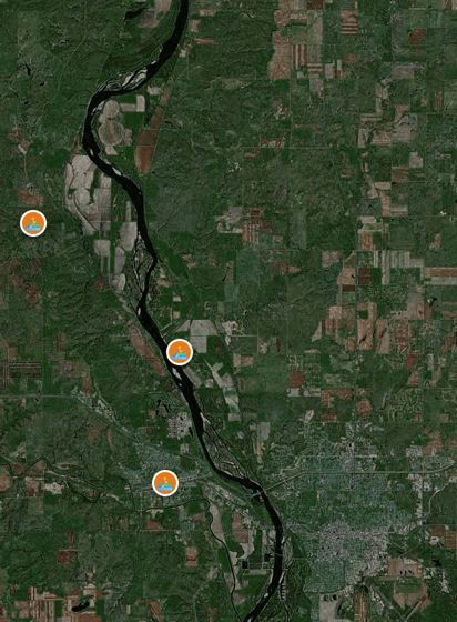 Outdoor rentalsWhere to rent kayaks, canoes, paddleboards, pontoons, boats, bikes and campers for the weekend.
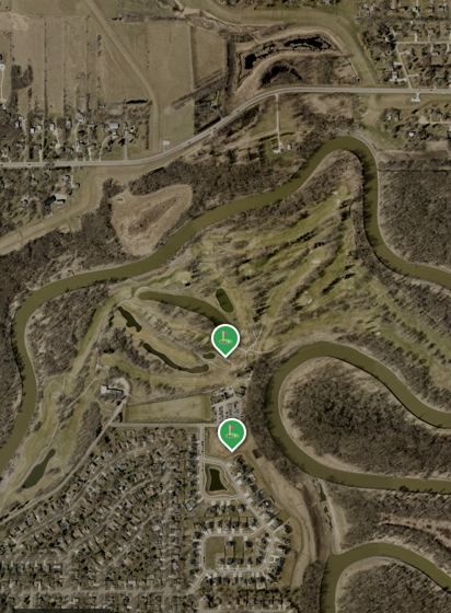 Golf coursesEvery North Dakota course; Play mode gives GPS yardages to the green, hazard carries, plays-like distance, club picks and a scorecard.
Map data: ND Game & Fish, ND GIS Hub, NDDOT, USGS, USDA, USFWS, NOAA/NWS, Esri, ESA Copernicus, OpenStreetMap contributors, adsb.lol and local police departments' public logs.